From ASTER Images
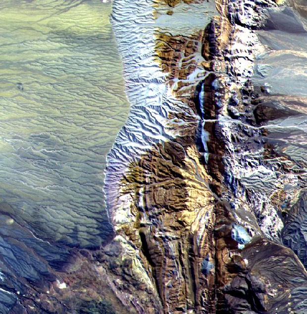
This image of a 10.5 by 11 km sub-area in northern Chile was acquired by ASTER on April 7, 2000. Dramatically displayed is a geological angular unconformity: a contact between layers of rock at different angles. On the right side of the image, Cretaceous sediments were tilted upward to an angle of about 50 degrees, then eroded. On this surface volcanic pyroclastic deposits were deposited as a flat sheet. The section of rocks has been eroding from the east, exposing the tilted and flat rock layers.
The Advanced Spaceborne Thermal Emission and Reflection Radiometer (ASTER) is one of five Earth-observing instruments launched December 18, 1999, on NASA's Terra satellite. The instrument was built by Japan's Ministry of International Trade and Industry. The primary goal of the ASTER mission is to obtain high-resolution image data in 14 channels over the entire land surface, as well as black and white stereo images. With revisit time of between 4 and 16 days, ASTER will provide the capability for repeat coverage of changing areas on Earth's surface.
Image Title:ASTER Views Chile Altiplano Unconformity
Target Name: Earth
Spacecraft: ASTER
Credit: NASA/GSFC/MITI/ERSDAC/JAROS and U.S./Japan ASTER Science Team
Back to Earth photographs index.
Last Modified On: Monday, Friday, December 15, 2000