From Visible Earth
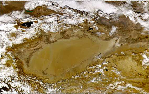
SeaWiFS collected this view of the Taklimakan Desert in western China. The large region in the center of the image is the Tarim Basin, one of the largest internal drainage basins in the world. The basin is surrounded by the Tian mountains to the north, the Kunlun mountains to the southwest and the Altun mountains in the south.
Image Title: Taklimakan Desert
Target Name: Earth
Provided by the SeaWiFS Project, NASA/Goddard Space Flight Center, and ORBIMAGE. All SeaWiFS images are for research and educational use only. All commercial use of SeaWiFS data must be coordinated with Orbimage.
Back to Earth photographs index.
Last modified on Sunday, December 17, 2000